Read Time:1 Minute, 33 Second
GeoServer, an open-source Java-based server, enables the sharing and management of geospatial data. However, a critical vulnerability (CVE-2024-36401) has emerged, allowing attackers to remotely execute commands and deploy malware.
Nature of the Vulnerability
CVE-2024-36401 stems from the flawed design of the OGC WFS and WCS standards. It facilitates unauthenticated external command execution through structured attack input. This vulnerability poses a significant risk, earning a CVSS score of 9.8.
Exploitation and Malware Deployment
Cybersecurity researchers at Fortinet have detected active exploitation of this vulnerability. Attackers have leveraged it to deploy malware in various regions. Notable malware include:
- GOREVERSE: A reverse proxy tool
- SideWalk: A Linux backdoor developed by APT41
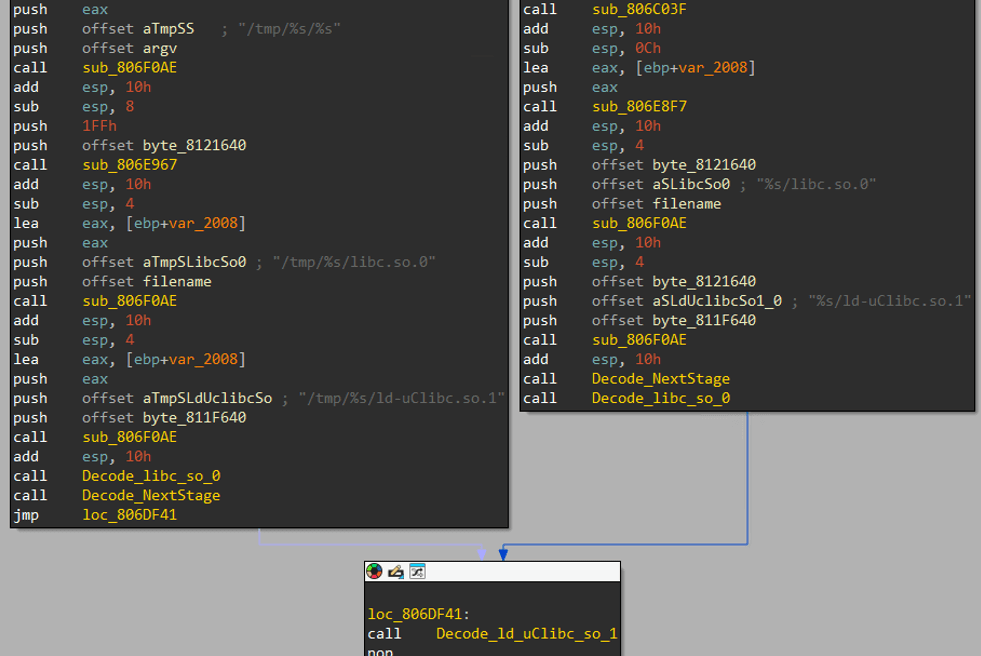
These malware employed encryption and masking techniques to evade detection. - Consequences of Exploitation
Exploitation of CVE-2024-36401 has resulted in the installation of cryptocurrency miners, including XMRig, which targets multiple CPU architectures. Additionally, attackers have disabled security features and uninstalled monitoring agents. - Mitigation Measures
To mitigate this vulnerability, it is crucial to: - Apply patches promptly: Replace the original XPath expression evaluator with the safe “JXPathUtils.newSafeContext” function.
- Maintain security surveillance: Implement threat monitoring tools to detect and respond to attacks.
- Restrict access: Limit access to GeoServer and its underlying infrastructure to authorized personnel only.
Proactive Steps
Organizations using GeoServer should take proactive steps before deployment to ensure the integrity of their geospatial data infrastructure. This includes: - Assessment of security risks: Conduct thorough vulnerability assessments and penetration testing to identify and address potential threats.
- Implementation of security policies: Establish clear security policies and procedures to govern access, data protection, and incident response.
- Regular updates and patching: Stay up-to-date with the latest security patches and software updates to minimize the risk of exploitation.
By adhering to these best practices, organizations can enhance the security posture of their GeoServer environments and protect the integrity and availability of their geospatial data.
